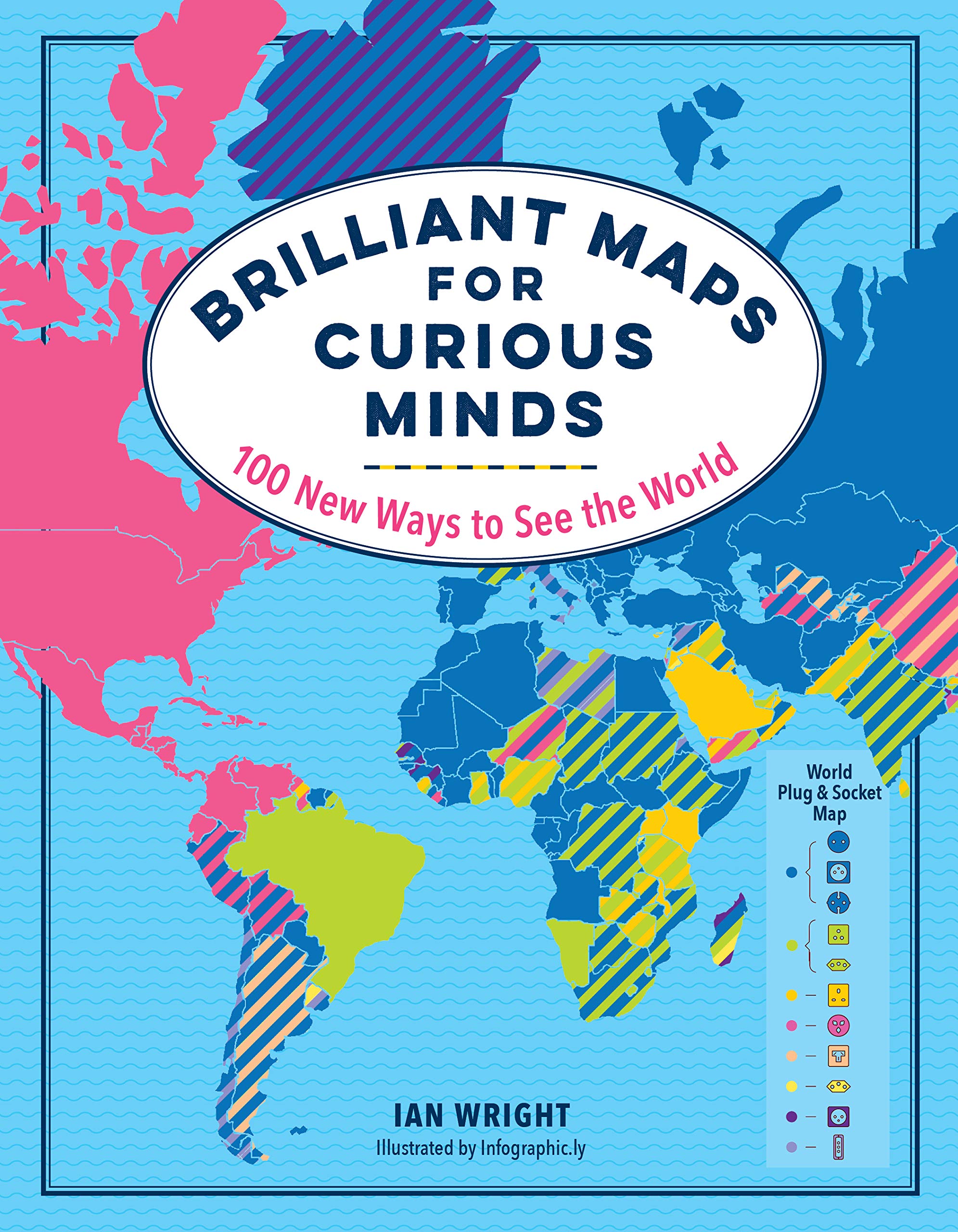
Brilliant Maps for Curious Minds: 100 New Ways to See the World
This book uses geographical maps to display information. The maps are useful, eye-opening, curious, or just whimsical. It’s divided into nine sections, such as people and populations, culture and customs, national identity, nature, etc. Each section has either about a dozen maps (first sex sections) or about half a dozen maps (last three sections). Most maps are color-coded across a two-page spread with minimal text and no source information. These include maps like average male height (by country). There is another for average female height as well. Others, such as the longest place names or the largest islands, do not require a color code.
As most of the maps are a two-page spread, countries in the middle (typically the Middle Eastern countries) get buried in the fold. For some maps, the colors provide qualitative data (such as the most photographed to least photographed places in the world). It would be helpful to know the difference in magnitude between the highest and lowest places. For other maps, the legend is inexplicably non-linear, and for other maps, it is difficult to distinguish between one color and another as the legend is shades of the same color. Overall, the book is a great idea but requires refinement.
| Author | |
|---|---|
| Star Count | /5 |
| Format | Hard |
| Page Count | |
| Publisher | The Experiment |
| Publish Date | 2019-11-01 |
| ISBN | 9781615196258 |
| Bookshop.org | Buy this Book |
| Issue | January 2020 |
| Category | Architecture & Photography |
| Share |


Reviews
There are no reviews yet.